✨ New Arrivals Just Dropped!Explore

Ordnance Survey Explorer Map 367 Dunfermline, Kirkcaldy & Glenrothes South
Ordnance Survey Explorer Map 367 Dunfermline, Kirkcaldy & Glenrothes South
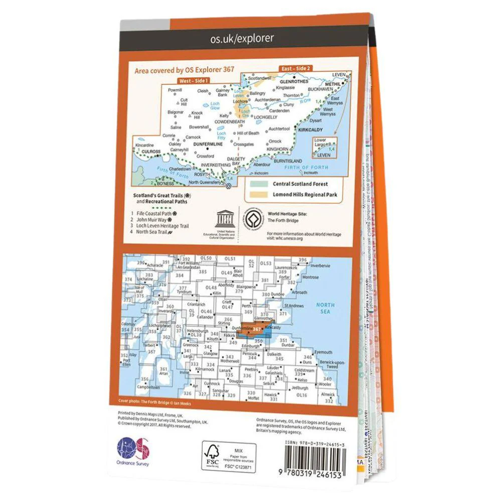
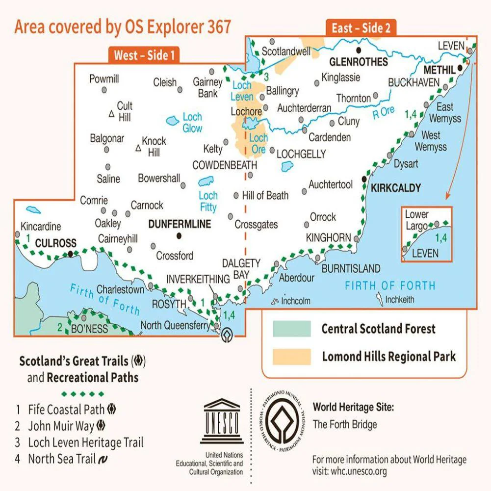
- OS Explorer map 367 shows Dunfermline, Kirkcaldy and the Firth of Forth.
- Included is the Fife Coastal Path (part of the North Sea Trail) the Lomond Hills Regional Park and Loch Ore.
- With this map you will receive a code for use on your iOS or Android smartphone or tablet.
$5.14
Original: $14.69
-65%Ordnance Survey Explorer Map 367 Dunfermline, Kirkcaldy & Glenrothes South—
$14.69
$5.14More Images

Ordnance Survey Explorer Map 367 Dunfermline, Kirkcaldy & Glenrothes South
Ordnance Survey Explorer Map 367 Dunfermline, Kirkcaldy & Glenrothes South
- OS Explorer map 367 shows Dunfermline, Kirkcaldy and the Firth of Forth.
- Included is the Fife Coastal Path (part of the North Sea Trail) the Lomond Hills Regional Park and Loch Ore.
- With this map you will receive a code for use on your iOS or Android smartphone or tablet.
Product Information
Product Information
Shipping & Returns
Shipping & Returns
Description
Ordnance Survey Explorer Map 367 Dunfermline, Kirkcaldy & Glenrothes South
- OS Explorer map 367 shows Dunfermline, Kirkcaldy and the Firth of Forth.
- Included is the Fife Coastal Path (part of the North Sea Trail) the Lomond Hills Regional Park and Loch Ore.
- With this map you will receive a code for use on your iOS or Android smartphone or tablet.