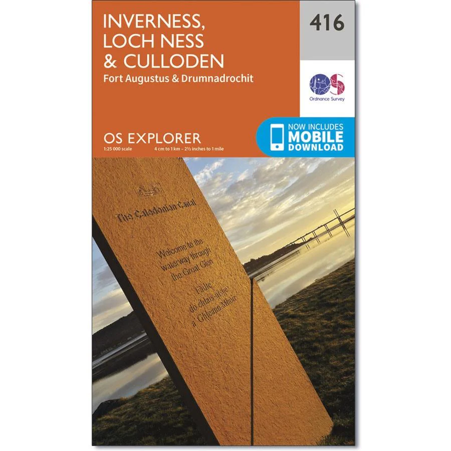
Ordnance Survey Explorer Map 416 Inverness, Loch Ness & Culloden
Ordnance Survey Explorer Map 416 Inverness, Loch Ness & Culloden
The two-sided Explorer map 416 covers the length of Loch Ness, and the Highland capital Inverness.
Walk the Great Glen way on the shores of the loch and see if you can spot the legendary monster, or set off and see if you can scale Suidhe Ghuirmain (578 m), the steep slopes of Glas-beheinn Mor (651 m) or tackle Meall Fuar-mhonaidh (699 m)
With this map, you will receive a code for use on your iOS or Android smartphone or tablet.
Original: $14.69
-65%$14.69
$5.14Ordnance Survey Explorer Map 416 Inverness, Loch Ness & Culloden
Ordnance Survey Explorer Map 416 Inverness, Loch Ness & Culloden
The two-sided Explorer map 416 covers the length of Loch Ness, and the Highland capital Inverness.
Walk the Great Glen way on the shores of the loch and see if you can spot the legendary monster, or set off and see if you can scale Suidhe Ghuirmain (578 m), the steep slopes of Glas-beheinn Mor (651 m) or tackle Meall Fuar-mhonaidh (699 m)
With this map, you will receive a code for use on your iOS or Android smartphone or tablet.
Product Information
Product Information
Shipping & Returns
Shipping & Returns
Description
Ordnance Survey Explorer Map 416 Inverness, Loch Ness & Culloden
The two-sided Explorer map 416 covers the length of Loch Ness, and the Highland capital Inverness.
Walk the Great Glen way on the shores of the loch and see if you can spot the legendary monster, or set off and see if you can scale Suidhe Ghuirmain (578 m), the steep slopes of Glas-beheinn Mor (651 m) or tackle Meall Fuar-mhonaidh (699 m)
With this map, you will receive a code for use on your iOS or Android smartphone or tablet.