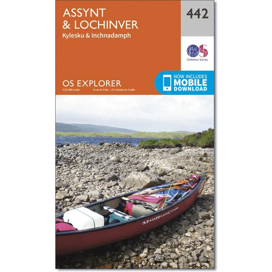
Ordnance Survey Explorer Map 442 Assynt & Lochinver
Ordnance Survey Explorer Map 442 Assynt & Lochinver
From Kylesku down to Lochinver and The Minch, the entire area has been designated a National Scenic Area.
There are two Munros is this area - Ben More Assynt stands at 998m.
With this map you will receive a code for use on your iOS or Android smartphone or tablet.
Original: $14.69
-65%$14.69
$5.14Ordnance Survey Explorer Map 442 Assynt & Lochinver
Ordnance Survey Explorer Map 442 Assynt & Lochinver
From Kylesku down to Lochinver and The Minch, the entire area has been designated a National Scenic Area.
There are two Munros is this area - Ben More Assynt stands at 998m.
With this map you will receive a code for use on your iOS or Android smartphone or tablet.
Product Information
Product Information
Shipping & Returns
Shipping & Returns
Description
Ordnance Survey Explorer Map 442 Assynt & Lochinver
From Kylesku down to Lochinver and The Minch, the entire area has been designated a National Scenic Area.
There are two Munros is this area - Ben More Assynt stands at 998m.
With this map you will receive a code for use on your iOS or Android smartphone or tablet.